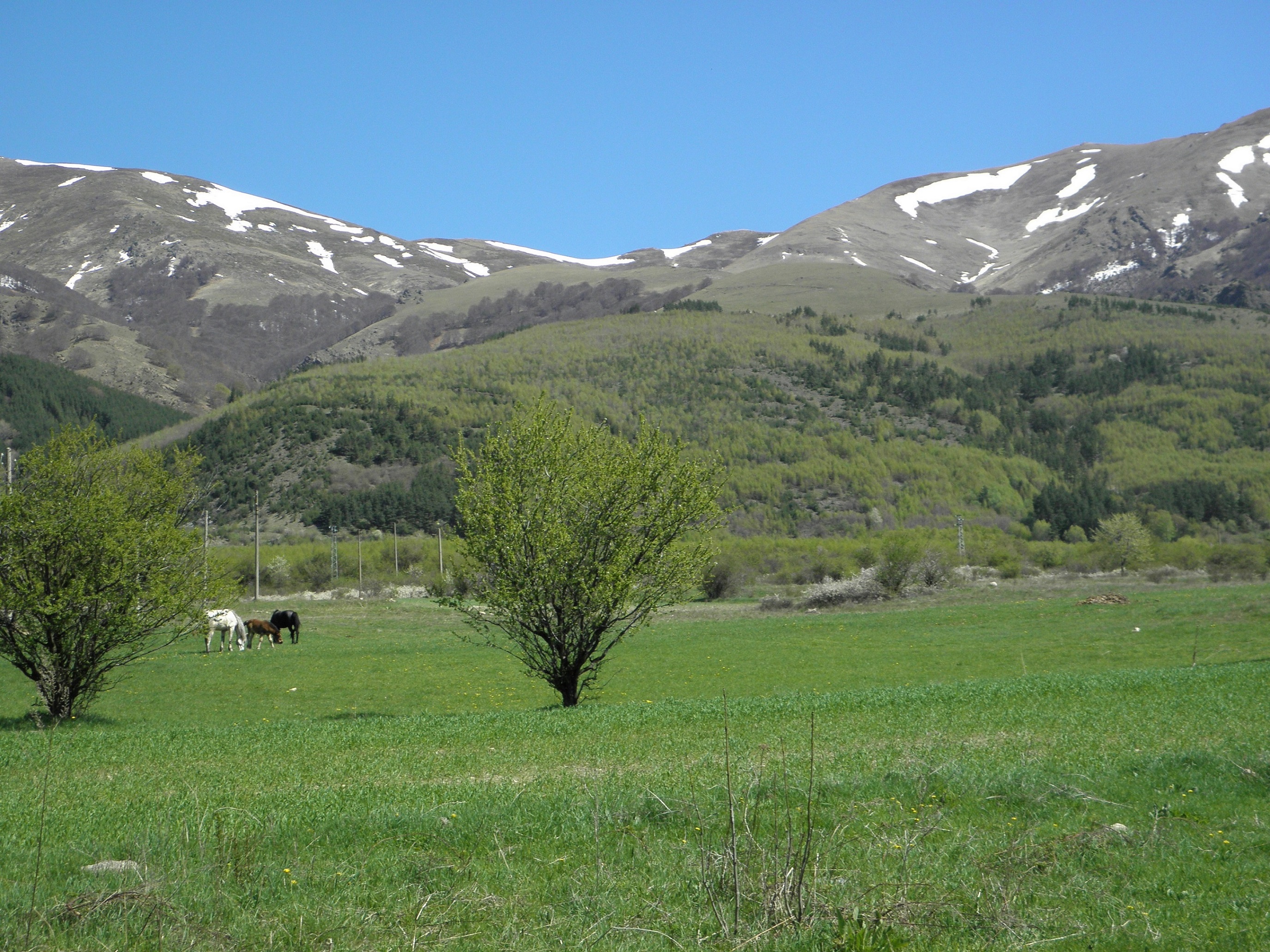
Anton municipality is situated in the northeast part of Zlatitsa – Pirdop hollow. The land of the village reaches the southern slopes of the Teteven ridge of the Balkan Range, which is a part of the largest National Park – the Central Balkan Range. The average height above sea level is 847 m. An interesting component of the national-geographic characteristics of Anton village is the water. Seven rivers flow through the territory of the Municipality, and there are a total of 14 rivers on its land. Anton Municipality is crossed by the main road I-6 Sofia – Bourgas and the sub-Balkan railway line. The neighboring municipalities are: Pirdop, Teteven, Klissoura and Koprivshtitsa.
Stockbreeding has always been the major means of livelihood for the area. There is a dairy in Anton village, which produces milk products, known for its quality all over the country. Since the 60-s of last century there is a Petroleum facility owned by the state Reserve Government Agency. Most of the residents of the Anton municipality work in the companies of the neighbouring municipalities: Aurubis Bulgaria, Dundee Precious Metals Chelopech EAD, Elatsite Med etc.